Exhibition on Hoang Sa, Truong Sa comes to Tien Giang
The exhibition “Vietnam’s Hoang Sa, Truong Sa – Historical and Legal Evidence” came to My Tho city in the Mekong Delta province of Tien Giang on April 22.
 Exhibition on Hoang Sa, Truong Sa comes to Tien Giang. (Photo: VNA)
Tien Giang (VNA) – The exhibition “Vietnam’s Hoang Sa, Truong Sa – Historical and Legal Evidence” came to My Tho city in the Mekong Delta province of Tien Giang on April 22.
On display are more than 200 items including maps, photos, documentation and publications dating between the 17th and 20th centuries that affirm Vietnam’s sovereignty over the Hoang Sa (Paracel) and Truong Sa (Spratly) archipelagos.
Among the exhibits is the “Atlas Universel de Geographie” (World Atlas of Geography) compiled by Belgian geographer Philippe Vandermaelen (1795 – 1869) and published in Brussels, Belgium in 1827.
 Map of “Empire d’An Nam” (Empire of An Nam) indicates Hoang Sa is part of “Dang trong” (Cochinchina) of Vietnam. (Photo: Ministry of Information and Communications)
The atlas includes four maps of Vietnam under the name “Empire d’An Nam” (Empire of An Nam) indicating that Hoang Sa is part of “Dang trong” (Cochinchina) of Vietnam.
Speaking at the event’s opening ceremony, Deputy Minister of Information and Communications Pham Hong Hai said the exhibition gives the public, particularly the youth, a better understanding on the history of Hoang Sa and Truong Sa as well as Vietnam’s ownership of the two archipelagos.
It also hopes to raise the sense of patriotism and responsibility of national protection among the Vietnamese, he added.
The exhibition will be open to public at the provincial Cultural Centre until April 26.-VNA


You should also see
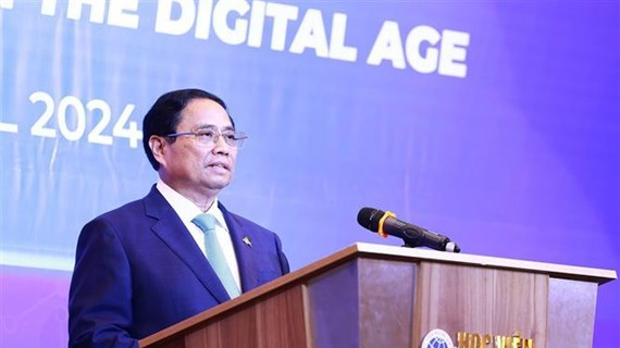
PM raises proposals for ASEAN to become global digital transformation model
Prime Minister Pham Minh Chinh on April 23 proposed breakthrough orientations to make ASEAN a model in digital transformation globally, while co-chairing a business roundtable with his Lao counterpart Sonexay Siphandone in Hanoi.

See more
 Culture - Sports
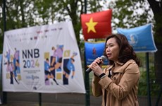
Football tournament for students held in France
A football tournament was held in Paris, France, on April 20 and 21, attracting the participation of more than 500 Vietnamese students in France and Belgium.
 Culture - Sports
Vietnam advance to Futsal Asian Cup quarters
Vietnam’s national futsal team has qualified for the 2024 AFC Futsal Asian Cup quarterfinals, despite losing 1-2 to Thailand in the last match of group A on April 21.
Dien Bien Phu Victory 70 years on: Students celebrating through street dances
The Dien Bien Department of Education and Training has recently held folk and street dances for students as part of activities to celebrate the 70th anniversary of the Dien Bien Phu Victory.
 Culture - Sports
Exhibition on Japanese sushi opens in Hanoi
The Japan Foundation Centre for Cultural Exchange in Vietnam on April 21 held an event to help Vietnamese people learn more about sushi - a Japanese typical dish and how to make it.
 Culture - Sports
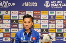
Vietnam's U23 squad determined to defeat Uzbekistan: coach
Coach Hoang Anh Tuan of Vietnam's U23 football team has affirmed that he and his students will perform with a “to fight, to win” spirit in the final group stage match against Uzbekistan on April 23.