Photo exhibition evokes national sea, islands’ love
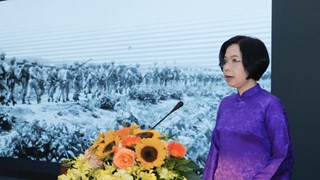
A photo exhibition on the country’s sea and islands opened to the public
on May 15 in the northern mountainous province of Yen Bai.
A photo exhibition on the country’s sea and islands opened to the public
on May 15 in the northern mountainous province of Yen Bai.
Held by the provincial Department of Culture, Sports, and Tourism, the event aims to help local people learn about the homeland’s beauty and increase their awareness about national sovereignty over the sea and islands.
On display are historical documents affirming Vietnam’s indisputable sovereignty over Hoang Sa and Truong Sa archipelagoes, including some old Chinese maps showing the southernmost point of China as Hainan Island. There are also nearly 50 photos on soldiers safeguarding the nation’s waters and airspace on Truong Sa archipelago.
The exhibition will run for one month and then move on to show in other areas in the province.


You should also see
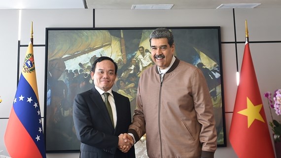
Vietnamese Deputy PM, Venezuelan President hold talks
Vietnamese Deputy Prime Minister Tran Luu Quang held talks with President of Venezuela Nicolás Maduro Moros in Caracas on April 18, as part of his ongoing official visit to the Latin American country.

See more
 Society
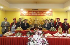
Overseas Vietnamese in Russia commemorate Hung Kings
Overseas Vietnamese in Russia on April 18 held a ceremony in Moscow to mark the death anniversary of Hung Kings, the legendary nation founders.
 Society
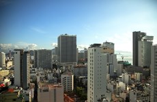
Amended Land Law - breath of fresh air blown into real estate market: lawyer
The amended Land Law, approved by the National Assembly in January 2024, is expected to exert impacts on the business activities of overseas Vietnamese (OVs), including those in Australia., said a lawyer.
 Society
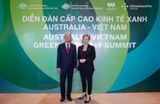
Green growth – a pillar of Vietnam-Australia comprehensive strategic partnership
The Australian Government, through agencies and partners, have launched many official development assistance (ODA) projects in Vietnam, including those on climate change adaptation and clean energy infrastructure.
 Society
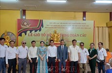
Vietnamese in Thailand, Israel commemorate legendary nation founders
The overseas Vietnamese (OVs) communities in Thailand and Israel have held events to commemorate Hung Kings, the legendary founders of the nation.
 Society
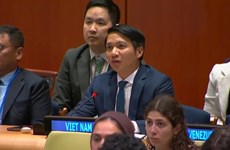
Vietnamese youth pledge to join hands in climate change response
A representative of Vietnam has affirmed the youth’s commitment to joining hands in climate change response, while attending a plenary session of the UN Economic and Social Council (ECOSOC) Youth Forum in New York on April 17.