70 pct of expanded Hanoi to become ‘green space’
Hanoi is seeking to enlarge the green space of the capital region with 70
percent of its area designated as green corridors and the remaining 30 percent
to be turned into central and satellite urban areas.
Hanoi is seeking to enlarge the green space of the capital region with 70
percent of its area designated as green corridors and the remaining 30 percent
to be turned into central and satellite urban areas.
According to the Hanoi Construction Masterplan through 2030 with a Vision towards 2050, the green corridors will be developed in the area lying between the Day and the Tich Rivers, encompassing central and southern Hanoi.
The plan was jointly developed by PPJ - a group of three international consultants including US architectural firm Perkins Eastman and the Republic of Korea’s Posco E&C and JINA (PPJ).
The plan has been submitted three times to the government for consideration since late last year following the government’s decision to expand Hanoi to cover more than 3,300 sq.km in August 2008.
In the plan, the PPJ proposed development of Hanoi’s expanded central urban area to include two regions surrounding the old capital city, divided by the Red River and expanding towards beltway No. 4.
Beltway No. 4 is designed to facilitate transport within the Hanoi capital region or metropolitan area, which includes the old Hanoi capital city and the six surrounding provinces of Bac Ninh, Hai Duong, Hung Yen, Ha Nam, Hoa Binh and Vinh Phuc. It will be built this year and is expected to be completed before 2020.
The PPJ also suggested development of five satellite urban areas and ecological villages and towns in the surrounding provinces along the green corridor.
The PPJ’s design is based on the basic principle of creating a public green space near the city, protecting high-yield farming and flood prone areas and creating a stronger links among urban, suburban and rural areas. It is expected to help preserve the region’s natural and cultural heritage and allow the stable development of craft villages as well as facilitate ecological tourism./.


You should also see
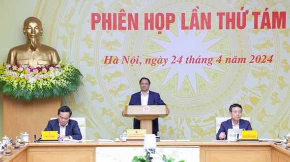
PM requires full legal corridor to promote national digital transformation
Prime Minister Pham Minh Chinh on April 24 requested more efforts to step up institutional improvement, create a full legal corridor to promote national digital transformation and develop the digital economy while addressing the eighth meeting of the National Committee for Digital Transformation.


See more
 Environment
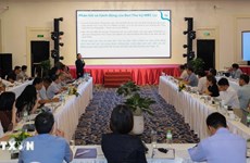
Consultation workshop on Cambodia’s Funan-Techo canal held in Can Tho
The Vietnam National Mekong Committee (VNMC) on April 23 held a consultation workshop on Cambodia’s proposed Funan-Techo canal project which has raised concerns about potential impacts on the Mekong river.
 Environment
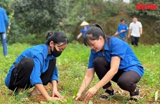
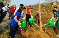
Up to 1,000 ban flowers planted at Dien Bien Phu battlefield relic sites
About 1,000 ban (Bauhinia variegate) flower trees were planted at relic sites such as A1 Hill, Him Lam resistance centre and De Castries Bunker at Dien Bien Phu battlefield relic complex in the northern province of Dien Bien on April 21.
 Environment
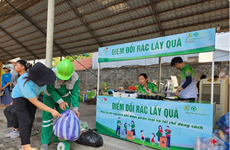
Vietnam acts to combat white pollution
The Vietnamese Government has issued a lot of policies, participated in various forums, and promoted international cooperation, demonstrating its activeness and affirming its determination to reduce plastic waste and join global efforts toward a planet without white pollution.
 Environment
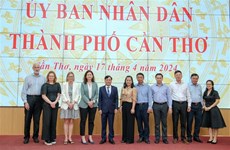
Can Tho explores climate change cooperation with foreign countries
Leaders of the Mekong Delta city of Can Tho on April 17 met with a visiting delegation from the Embassies of Canada, New Zealand, Norway, and Switzerland to discuss issues related to erosion, climate change, migration, and the city's current needs for support and cooperation.
 Environment
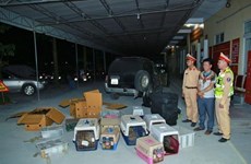
Nghe An: Man captured for illegal wildlife transport
Police in Vinh city, the central province of Nghe An, have captured a suspect involved in the illegal transport of 420 rare wildlife animals, including parrots, kangaroos, turtles, and monkeys.