Google corrects map border error after complaint
Google has corrected the map it had posted on the Net of the borderline
between Viet Nam and China after a complaint by the Ministry of Natural
Resources and Environment's Department of Survey and Mapping.
Google has corrected the map it had posted on the Net of the borderline
between Viet Nam and China after a complaint by the Ministry of Natural
Resources and Environment's Department of Survey and Mapping.
The department said the depiction posted on Google Maps incorrectly attributed thousands of square kilometres of Vietnamese territory to China.
It placed the borderline from Dien Bien province to Mong Cai city in Quang Ninh province in the wrong place and a number of border gates, such as the ones at Tan Thanh and Thanh Thuy, in Chinese territory.
However, Dang Thai Son, an official from the ministry's Borderline Centre, said errors still remained in Google's map.
"The borderline between the two countries in Lao Cai province is basically correct but other parts along the northern borderline have yet to be fixed," Son said.
He said he hoped that the internet search corporation would promptly correct its map of the region.
Vietnam and China signed a protocol on border demarcation and landmark planting on November 18, 2009, which officiallly came into effect on July 14 this year and was submitted to the United Nations.
The Vietnam-China border is 1,449.566-km-long and has 1,971 officially recognised landmarks.
Dang Hung Vo, chairman of the Vietnam Association of Geodesy, Cartography and Remote Sensing, said it was vitally important for Vietnam to ensure that information relating to its borderline was correctly represented to avoid future territorial disputes./.


You should also see
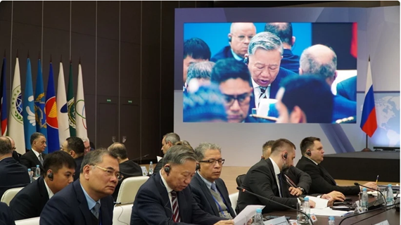
Vietnam attends international security meeting in Russia
A Vietnamese delegation led by Minister of Public Security General To Lam is attending the 12th International Meeting of High Representatives for Security Issues in Russia’s St. Petersburg city from April 23-25.


See more
 Society
Millions of children in Vietnam protected by vaccination over 40 years: UN agencies
Millions of children in Vietnam have been protected by immunisation over the past 40 years, said the World Health Organisation (WHO) and UNICEF offices in Vietnam on April 25 when they mark the World Immunisation Week from April 24-30.
 Society
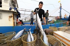
Government’s action program cracks down on illegal fishing
A raft of measures to deal with illegal, unreported and unregulated (IUU) fishing is included in the Government’s freshly issued action program as the country is striving to clamp down on illegal fishing.
 Society
Exhibition offers insight into Vietnam in the 1930s
An exhibition themed ‘Sofia Yablonska -The lifetime journey through the century’ opened in Hanoi recently as an event to celebrate the 32nd anniversary of the diplomatic relations between Vietnam and Ukraine.
 Society
Vietnam, India boost education cooperation
The Indian Consulate General in Ho Chi Minh City held the India-Vietnam Meet in Education Sector, themed “InnovEdu: Training and Partnership” on April 24.
 Society
Victims in southwestern border defence war commemorated
A ceremony was held in the town of Ba Chuc, Tri Ton district, the Mekong Delta province of An Giang on April 24 to commemorate people massacred by the Pol Pot genocidal regime in 1978 during the southwestern border defence war.