Vietnam completes spatial database on sea, islands
Vietnam’s database of multi-temporal spatial images now covers the
country’s entire territorial waters, including Hoang Sa (Paracel) and
Truong Sa (Spratly) archipelagos.
Vietnam’s database of multi-temporal spatial images now covers the
country’s entire territorial waters, including Hoang Sa (Paracel) and
Truong Sa (Spratly) archipelagos.
This is the initial result of a three-year project to monitor marine and island environmental resources using remote sensing technology which was approved in Hanoi on November 13.
The database features the topography of Hoang Sa and Truong Sa archipelagos; the surface of coastal areas; the physical, chemical and biological features of marine ecosystems; and a multi-temporal monitoring system, Deputy Minister of Natural Resources and the Environment Pham Ngoc Hien said.
The system will help track changes in marine and island natural resources to safeguard national defence and sovereignty.
According to Nguyen Xuan Lam, head of the National Remote Sensing Department under the Ministry of Natural Resources and the Environment, numerous maritime studies, mapping exercises and geological surveys were conducted previously; however, none were able to give a complete overview of Vietnam ’s territorial waters, especially Hoang Sa and Truong Sa archipelagos.
The application of remote sensing technology, far superior to conventional methods, is therefore a valuable part of research on the country’s sea and island environmental resources, and is particularly useful for off-shore and inaccessible areas, Lam said.-VNA


You should also see

Prime Minister receives ASEAN Secretary-General
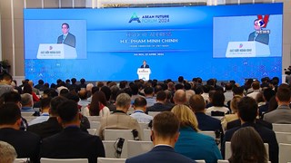
Prime Minister Pham Minh Chinh on April 23 hosted a reception for ASEAN Secretary-General Kao Kim Hourn who is paying a working trip to Vietnam and attending the ASEAN Future Forum (AFF) 2024 from April 21-24.


See more
 Society
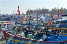
Ba Ria-Vung Tau strengthens measures to combat IUU fishing
The southern province of Ba Ria-Vung Tau has launched several specific tasks and measures to combat illegal, unreported, and unregulated (IUU) fishing.
 Society
Second banh mi festival slated for May
Ho Chi Minh City will host the second banh mi (Vietnamese sandwich) festival on May 17-19, aiming to promote the Vietnamese cuisine which has grown in popularity among foodies from around the globe.
 Society
PM asks for prompt actions to fix consequences of serious workplace accident in Yen Bai
Prime Minister Pham Minh Chinh on April 22 signed a dispatch asking for prompt actions to fix the consequences of a serious workplace accident that happened in a cement factory in the northern province of Yen Bai the same day, as well as measures to support victims.
 Society
Dien Bien province's tourism sector aspires to "take off"
The northern mountainous province of Dien Bien aims to become a national cultural, historical and ecological tourism hub by 2050, towards international standards with strong growth of trade services.
InfographicQ1 2024: 51.3 million workers employed
51.3 million people in Vietnam aged 15 and above were employed during the first quarter of 2024, an increase of 174,100 compared to 2023, or 0.34 percent. The unemployment rate among the country’s working-age population has fallen by 2.24% compared to the same period last year.