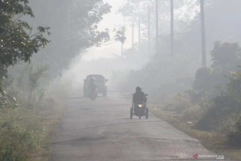
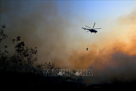
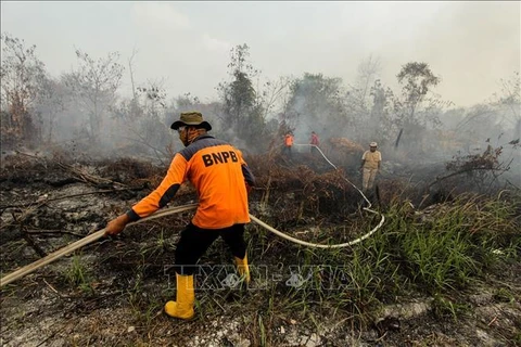
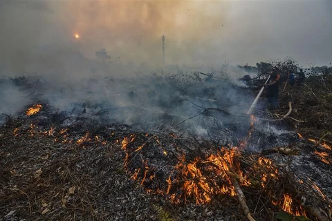
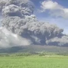
 Fire is raging at a forest in Kampar, Riau province, Indonesia on September 9, 2019. (Photo: AFP/VNA)
Hanoi (VNA) – A satellite image showed thick haze from a forest fire in Indonesia spreading into Malacca Strait, Singapore and Malaysia on September 14, according to the Indonesian meteorology and geophysics agency.
The Himawari 8 SM satellite detected haze moving from Indonesia's Sumatra island to Singapore and Malaysia, and from Indonesia's West Kalimantan to Serawak of Malaysia, the agency said in a statement.
Worsening haze forced many schools in Riau and Jambi provinces to shut down. Health offices in both provinces said more than 300,000 people have suffered respiratory illnesses since the haze began. More people have also been seeking medical help in recent weeks.
Forest fires often occur in Indonesia as growers use fire to clear lands for palm oil, paper plantations and other crops. But the fires often rage out of control especially during the dry season.
Indonesia has deployed about 10,000 soldiers, police and personnel from disaster management agency to fight the fires, which razed across the country, with more than half in the provinces of Riau, Jambi, South Sumatram West Kalimantan, Central Kalimantan and South Kalimantan.
Malaysia has sent half a million face masks to the eastern state of Serawak where air pollution levels spiked while Singapore advised people to avoid outdoor activities.
VNA
