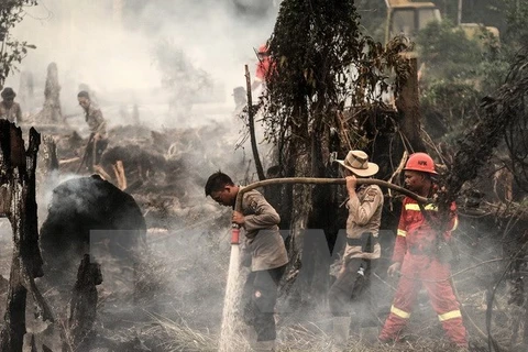
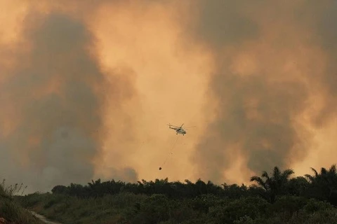
Hanoi (VNA) – Indonesia’s Terra and Aqua satellites have detected 27 hotspots with risk of forest fire in seven provinces of Sumatra archipelago, according to the Climatology and Geophysics Agency (BMKG).
BMKG Pekanbaru leader Slamet Riyadi said that 14 hotspots have been found in South Sumatra, five in West Sumatra, three in Bangka Belitung, two in Jambi and one in each of North Sumatra, Bengkulu and Riau.
According to the Regional Disaster Mitigation Agency of Riau, the province has warned localities on forest fire risks over the year for preventive measures. The area is entering the rainy season and the number of forest fire hotspots tends to drop in September.
However, the BMKG forecasts that Indonesia suffers from drought from June to October, leading to higher risks of forest fire.
In the recent two years, Indonesia has managed to reduce smog from forest fire.
Indonesian President Joko Widodo called for all relevant parties to roll out early preventive measures against forest fire.
In 2015, Indonesia was seriously impacted by forest fire which destroyed over 2.6 million hectares of forest and caused loss of over 20,000 billion Rupiah.
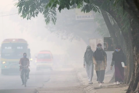
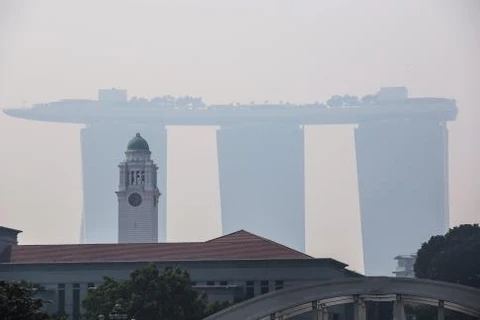
Smog from forest fire also affected a large number of flights, schools and public health facilities, while influencing the environment in Singapore, Malaysia and the Philippines. About 504,000 people suffered from respiratory diseases due to environmental pollution caused by forest fire.-VNA
source

