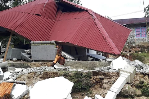
Jakarta (VNA) - A 6.1-magnitude earthquake struck Indonesia's easternmost Papua province in the afternoon of January 18.
According to an official from the Indonesian Meteorology, Climatology, and Geophysical Agency, the earthquake was centered 158km northwest of Jayapuru, the capital of Papua province at a depth of 34km.
However, he said the quake did not cause tsunami so no warning was issued.
There were no immediate reports of damage or injuries, he said.
Indonesia, a vast archipelago of 260 million people, is frequently struck by earthquakes, volcanic eruptions and tsunamis because of its location on the "Ring of Fire," an arc of volcanoes and fault lines in the Pacific Basin.
In 2018, a 7.5 magnitude earthquake and subsequent tsunami hit Palu city on Sulawesi Island, leaving more than 4,300 dead and missing.
VNA


