Hanoi (VNA) – An earthquake of 5.7 magnitude on the Richter jolted 129km north west of Kota Ternate, Indonesia on February 7, the United States (US) Geological Survey (USGS) said.
The epicentre, with a depth of 35 km, was initially determined to be at 1.5093 degrees north latitude and 126.4563 degrees east longitude.
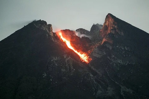
Indonesia, one of the most disaster-prone nations on earth, straddles the Pacific "Ring of Fire", where tectonic plates collide and a large portion of the world’s volcanic eruptions and earthquakes occur.
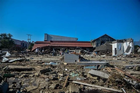
In 2004, a big earthquake off the northern Indonesian island of Sumatra triggered a tsunami across the Indian Ocean, killing 220,000 people in 13 countries, including more than 168,000 in Indonesia.-VNA
VNA


