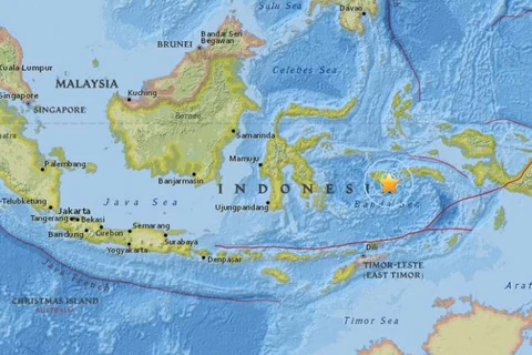
Jakarta (VNA) – An earthquake measuring 6.6 richter scale struck off Bengkulu province, western Indonesia on August 13, the local meteorology and geophysics agency said.
According to the United States Geological Survey, the quake jolted 73km west of Bengkulu at 03:08 GMT. The epicenter, with a depth of 35.9 km, was initially determined to be at 3.7937 degrees south latitude and 101.6003 degrees east longitude.
The meteorology and geophysics agency said the quake was not potential for tsunami. There were no immediate reports of casualties or damage in the quake.
Indonesia is prone to quake as it lies on a vulnerable quake-hit zone so called "the Pacific Ring of Fire."
An earthquake struck Indonesia's western Aceh province in December 2016, killing more than 100 people and leaving tens of thousands injured and homeless. -VNA
VNA


