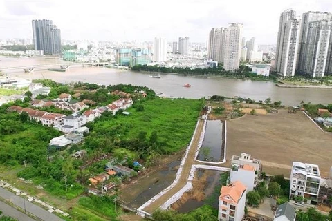
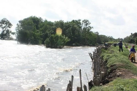
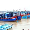
HCM City plans to develop the potential of the Sai Gon River and the city's river-canal network (Photo: VNA)
 HCM City (VNS/VNA) - Secretary of the Ho Chi Minh City Party Committee Nguyen Thien Nhan said at a conference held on September 11 that the city expects to outline a plan to build embankments and improve management of land along rivers and canals by the year-end.
The conference was organised by the municipal People’s Committee to discuss long-term solutions to develop the Sai Gon River and urban river-canal network to 2025.
Nhan said the city should have a strategy on embankment and waterway development to 2030. “The system of rivers and canals is a natural resource that plays an important role in the city’s formation and development process,” he said.
He said the city should learn lessons from other countries to avoid mistakes when building embankments.
The role of land and embankments along the rivers and canals should be clearly defined, including the function it plays in the transport system, drainage system, community activities, and riverside business projects.
“It’s necessary to research and deploy modern technologies when building embankments for multiple purposes,” he said.
Models of cooperation between authorities, residents and enterprises should be developed as well, he said.
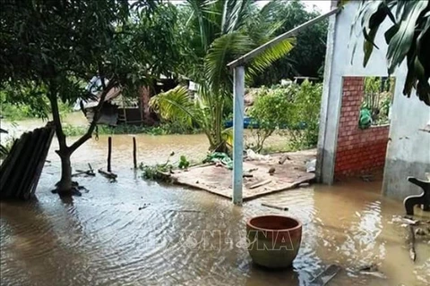
The city also needs local and foreign experts who can develop strategies to control flooding and improve water drainage, he added.
The option of building a flood-control dyke in Can Gio district will be considered, according to Nhan.
To deal with managing and administrative conflicts, the city should review discrepancies between planning, construction and transport policies, he said.
Nguyen Thanh Nha, Director of the municipal Department of Planning and Architecture Department, said the system of rivers and canals in the city feature natural landscapes that contribute to socio-economic development.
“However, exploiting the landscape of the rivers and canals has not been given adequate attention,” he added.
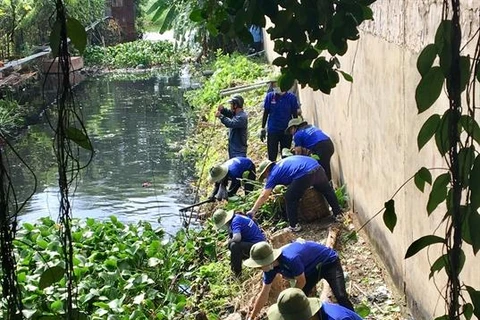
Climate change and rapid urbanisation are also affecting waterways. Landslides, land subsidence, illegal construction near waterways, and environmental pollution are hindering development, he said.
The city has more than 100 rivers and canals, with water surface accounting for about 16 percent of the city's total area.
Embankments built in the city account for 15 percent of the total rivers and canals.
“Mobilising intellectual and socio-economic resources is very important so that scientific and comprehensive solutions can be developed to cope with risks and challenges, and promote the potential of these areas,” Nha said.
Do Thanh Tung, head of the National Institute of Architecture, said the city should begin studies on building landscapes on the water surface of rivers and canals.
“Planning on rivers and canals should focus on serving all citizens’ demands and ensuring their basic function of water drainage,” he added.
Associate Professor Sybil Derrible, from the University of Illinois in Chicago in the US, said the role of canals in many cities around the world has changed significantly and has helped solve problems that cities face.
Canals can be used for multiple functions, from transporting people and goods and providing drinking water to handling storm water runoff.
“With proper planning, canals can revitalise entire neighborhoods and can significantly help address contemporary issues,” he said.
Canals present both social and engineering assets, and offer opportunities that should be leveraged to help build smarter, more sustainable and more resilient cities, he said./.