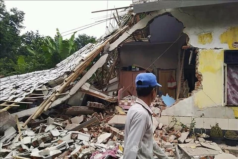
Jakarta (VNA) – A 5.2-magnitude earthquake hit Majene city of Indonesia’s West Sulawesi province on February 3, but it did not trigger tsunami warnings.
The country’s Meteorology, Climatology and Geophysics Agency (BMKG) said the earthquake occurred at 15:25 (Western Indonesian Time).
With a depth of 18km, its epicenter was located 9km northwest of Majene. Besides Majene, the earthquake was also felt in nearby Mamuju and Polewali Mandar cities.
Indonesia lies on the Circum-Pacific Belt, also known as the Ring of Fire, where several tectonic plates meet and cause frequent volcanic and seismic activities.
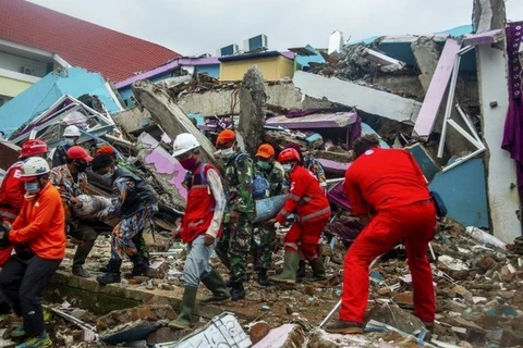
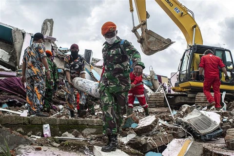
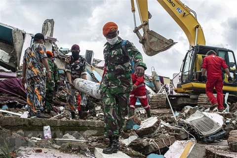
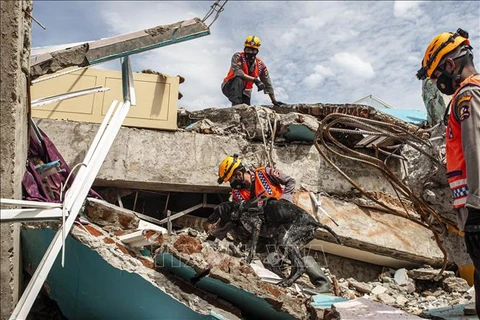
On January 15, an earthquake measuring a magnitude of 6.2 claimed more than 90 lives and injured over 820 people in Majene district and coastal Mamuju city of West Sulawesi.
Another measuring 7.1 magnitudes on the Richter scale struck North Sulawesi on January 21 night./.
The country’s Meteorology, Climatology and Geophysics Agency (BMKG) said the earthquake occurred at 15:25 (Western Indonesian Time).
With a depth of 18km, its epicenter was located 9km northwest of Majene. Besides Majene, the earthquake was also felt in nearby Mamuju and Polewali Mandar cities.
Indonesia lies on the Circum-Pacific Belt, also known as the Ring of Fire, where several tectonic plates meet and cause frequent volcanic and seismic activities.
On January 15, an earthquake measuring a magnitude of 6.2 claimed more than 90 lives and injured over 820 people in Majene district and coastal Mamuju city of West Sulawesi.
Another measuring 7.1 magnitudes on the Richter scale struck North Sulawesi on January 21 night./.
VNA