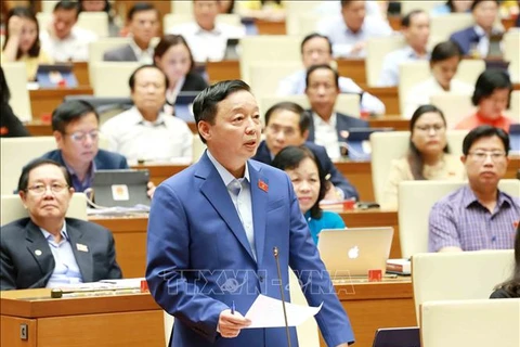
Hanoi (VNA) – Creating more detailed flood and landslide risk maps is among the solutions the Government will carry out in the time ahead to cope with possible natural disasters, Deputy Prime Minister Trinh Dinh Dung said on November 6.
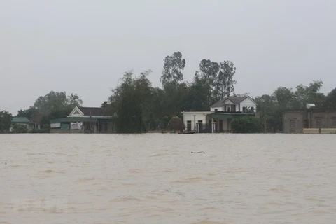
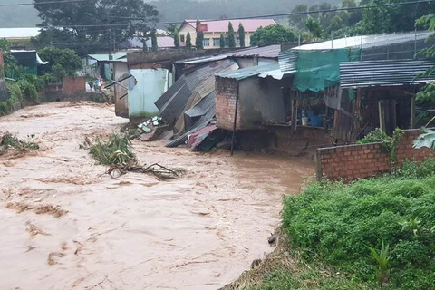
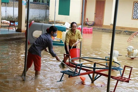
Responding to legislators’ questions at the National Assembly’s ongoing 10th session, he said prolonged flooding and Storm Molave, the strongest one in 20 years, have caused heavy losses of life and property in the central region.
The impact of climate change and extreme weather conditions, especially storms and floods, are currently major challenges to many countries around the world, and Asia is the hardest-hit continent.
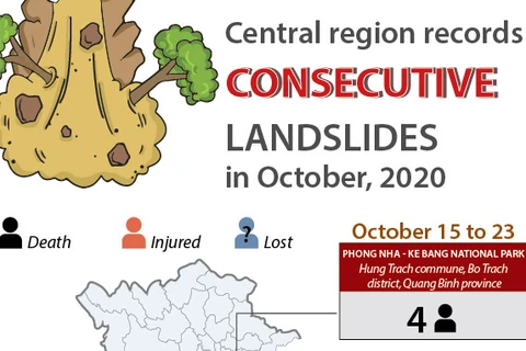
Stressing human factors as a major cause of recent landslides, the Deputy PM elaborated that Vietnam ranks 50th among 193 countries and territories in terms of forest coverage, over 41 percent of its area, but forest quality remains low and deforestation for farming and industrial purposes have yet to be prevented thoroughly.
Besides, the construction of infrastructure like transport facilities, power transmission lines, pipeline, housing, and irrigation and hydropower reservoirs without careful consideration in mountainous areas has also increased landslide risks in the rainy season, he explained.
Dung said the Government will press on with overhauling regulations on natural disaster prevention and control and review climate change scenarios which will serve as the basis for building response plans.
It will also make a disaster prevention and control strategy for 2021-2030 and include climate change and disaster response contents in national, regional, sectoral and provincial planning.
More detailed flood and landslide risk maps will be drawn to serve evacuation, he said, noting that only large-scale maps were made while where exactly vulnerable places are haven’t been identified.
Particularly, the Government will strictly manage the building of socio-economic infrastructure in mountainous areas. These facilities must satisfy climate change response and disaster prevention requirements, and encroachment upon natural and protection forests must be minimised during their construction.
It will also order localities to upgrade reservoirs and dykes to ensure their safety, invest in anti-erosion facilities for river banks and coasts, build more anti-flooding houses in coastal central provinces, and improve shelter areas for vessels.
Additionally, the Government will work to promote the capacity of disaster prevention, search and rescue forces at all levels, and purchase more vehicles and equipment for the tasks, according to Deputy PM Dung./.
VNA

