Hanoi (VNA) – Scientists from the National Centre for Hydro-Meteorological Forecasting have estimated that the 2014-2016 El Nino is expected to be as serious as the 1997-1998, and it could become one of the longest warming events ever (up to 20 months).
The centre also anticipated a high possibility of an end to El Nino, and that the El Nino-Southern Oscillation (ENSO) will bounce back to a neutral state during June-July 2016.
Cyclones and tropical low pressure on the East Sea are predicted to arrive later and less frequently compared to a normal year’s average density. Vietnam might be affected by four or five storms, more focused towards the year’s end – from August to November.
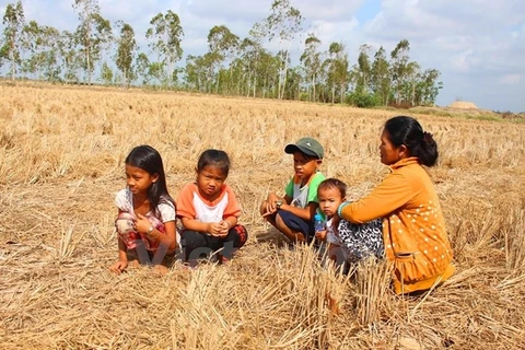
Drought and water shortages in the country’s central region are forecast to continue until September as the rainy season is expected to come late and with a lower average rainfall. Saltwater intrusion will encroach even further into the region’s estuary and coastal areas.
The precipitation level was recorded at as low as 50 percent of the average level in many areas in May, and 15-30 percent below normal is predicted during June-August, while river levels in the Central and Central Highlands will continue to reduce in the coming months of this year’s dry season (from late April-August).
Salinity levels in the Mekong, Dong Nai-Sai Gon and Vam Co rivers in the south are estimated to reduce by the end of May but still higher than the same period last year.
There is a low possibility of early floods in the southern delta area in 2016, with the flood in the two tributaries of the Mekong likely to reach the peak level in the first half of October, which is forecast to be higher than the peak level last year but still lower than normal.-VNA


