Illustrative image (Photo: nchmf.gov.vn)
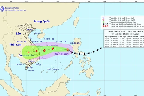
 Hanoi (VNA) - Goni, the 10th storm to enter the East Sea this year, is dangerous both on the mainland and at sea, with vessels operating in the affected zones bearing high risks from gusts, said Director of the National Centre for Hydro-Meteorological Forecasting Mai Van Khiem.
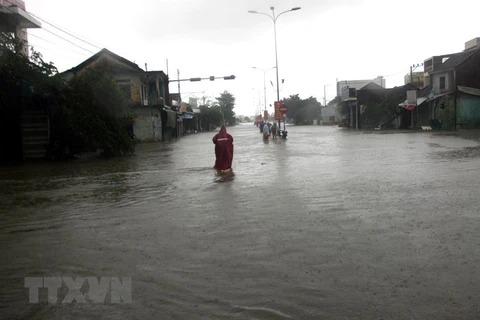
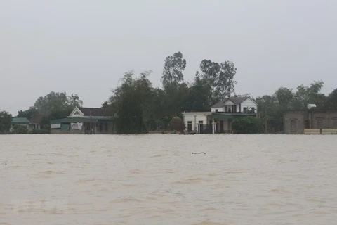
Rain, whirlwinds, and gusts are forecast to hit coastal and inland areas from November 4 when the storm is about 300 – 400 km away from the shore, inflicting risks on ships and coastal aquaculture.
The storm is also likely to cause large-scale heavy rain in the central region, which experienced a month of devastating storms and floods in October, from November 4 to 7.
According to the centre, at 1:00 am on November 4, the storm was 330 km southeast of Vietnam’s Hoang Sa (Paracel) archipelago. For the next 24 hours, it will move west southwest at 10 – 15 km per hour, with its epicenter about 250 km off the waters from Quang Ngai to Khanh Hoa provinces at 1:00 am on November 5.
Between 1:00 am on November 5 and 1:00 am November 6, Goni is expected to move south southwest, and weaken to a low tropical pressure, making landfall on these central provinces from Quang Ngai to Khanh Hoa.
As a result, from November 4 to 6, Quang Nam, Quang Ngai, and Binh Dinh provinces will see average rainfall of 250 – 350 mm, while Thua Thien – Hue, Da Nang, Kon Tum, and Gia Lai, and Phu Yen provinces will suffer average rainfall of 100 – 200 mm.
Provinces from Ha Tinh to Quang Tri will see average rainfall of 100 – 200 mm from November 5 to 7./.
VNA