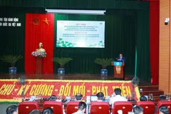
Vietnam uses GIS for priority setting in post-war bomb, mine clearance
The study in Quang Ngai combines wartime bombing data, field survey results, population density, land-use planning and other socio-economic factors to develop priority maps. It demonstrates the potential of GIS to improve the efficiency of efforts to address the consequences of bombs, landmines and unexploded ordnance (UXO) in Vietnam.