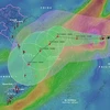
Hanoi (VNA) – A tropical depression on July 23 afternoon intensified into the fourth storm in the East Sea so far this year, according to the National Centre for Hydro-Meteorological Forecasting.
At 1pm of July 23, the centre of the storm, called Sonca, was about 17.6 degrees north latitude and 111.2 degrees east longitude, about 140km to the southeast of China’s Hainan Island. The strongest wind speeds then were between 60 and 75km per hour.
In the following 24 hours, Sonca is forecast to move at some 5km per hour to the west.
At 1pm of July 24, its centre is predicted at 17.8 degrees north latitude and 109.8 degrees east longitude, on the sea area in the southern part of Hainan Island. It could continue sustaining wind speeds of 60 – 75km per hour. The dangerous area at this time will be from 16.5 to 20.5 degrees north latitude and in the west of the 113th meridian east.
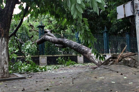
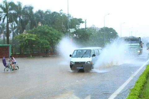
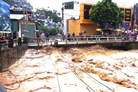
[Photos: Ha Giang after the storm]
In the next 24 – 48 hours, the storm will move between west and northwest at some 10km per hour.
At 1pm of July 25, its centre is forecast at about 18.3 degrees north and 107.8 degrees east, about 210km east-southeasterly off the coast from Thanh Hoa to Quang Binh provinces. Strongest wind speeds are expected at 60-75km per hour.
The forecasting centre said due to Sonca’s impact, heavy rains will occur in the central provinces from Thanh Hoa to Thua Thien-Hue as from July 25.-VNA
VNA

