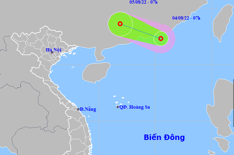
Hanoi (VNA) - A low-pressure area has developed into a tropical depression in the northern area of the East Sea, according to the National Centre for Hydro-meterological Forecasting (NCHMF).
The centre of the tropical depression was south of China’s Guangdong province with a maximum wind speed of 50 kph at 1pm on August 4.
In the next year 24 hours, it will move in the west-northwest direction at a speed of 10-15kph and enter Guangdong province of China before weakening into a low pressure area again.
Under the influence of the tropical depression, the northern part of the northern area of the East Sea will experience strong winds and rough sea, while heavy rains and strong winds are likely to occur in the coastal areas from the southcentral province of Binh Dinh to the southernmost province of Ca Mau on August 4 afternoon and evening.
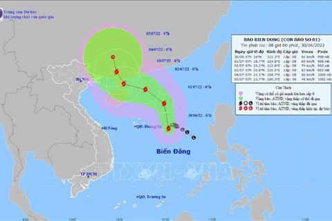
Hydro-meteorological experts have warned of complicated weather developments with 10-12 storms and tropical depressions are forecast to hit the country between June and the end of the year.
According to Hoang Phuc Lam, NCHMF’s deputy director, four to six storms are likely to directly affect inland areas, approximately the same as in previous years.
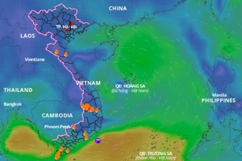
During the rainy season from July to September, rainfall in the northern region is likely to be equal to or higher than the average. In contrast, the Central Highlands and the southern regions are projected to experience less rainfall. High risk of downpours and dangerous weather phenomena such as thunderstorms, whirlwinds and hail are possible on a nationwide scale./.
