Hanoi (VNA) – Tran Quang Hoai, General Director of the Vietnam Disaster Management Authority (VDMA), has underlined the urgent need to set up delegations to inspect the safety of dykes and reservoirs in important areas as tropical low pressure system has turned into a storm named Son Tinh.
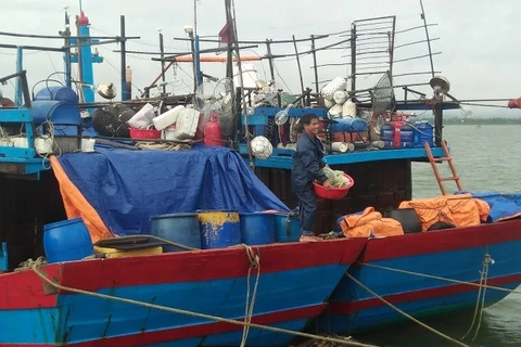
At a meeting in Hanoi on July 17, Hoai, who is also a permanent member of the Central Steering Committee for Natural Disaster Prevention and Control, asked localities and the Border Guard High Command to keep a close watch on the development of the storm, and guide boats to move out of dangerous areas.
Apart from evacuating fish cages, localities should work to ensure the safety for tourists, he said, noting that in mountainous areas, which are forecast to be swept by torrential rains, the information work must be stepped up to help local residents and authorities promptly evacuate.
Regarding the operation of reservoirs, Hoai urged the VDMA to coordinate with the Electricity of Vietnam Group (EVN) in lowering water levels of the dams when the storm land in.
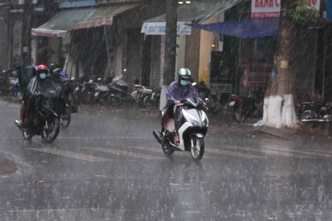
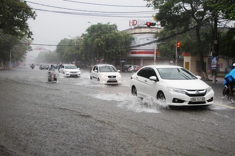
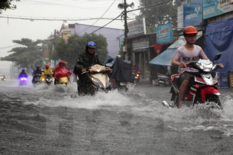
At the meeting, the National Centre for Hydro-Meteorological Forecasting said the storm and tropical low pressure are expected to develop complicatedly, bringing more rains on July 18 with total rainfalls from 200-300mm, mainly in the central provinces of Nghe An and Ha Tinh, and the northern mountainous provinces of Hoa Binh and Son La.
According to Colonel Tran Duong Kien, from the Border Guard High Command, 41,042 boats at sea have been informed about the storm, the third of its kind to affect the country this year.
In the southern province of Kien Giang, all high-speed boats operating on routes from Rach Gia city to Nam Du and Phu Quoc islands, and from Ha Tien town to Phu Quoc have been postponed as impacts of the storm.
Storm Son Tinh is quickly moving west at 35 km per hour. By 10am on July 18 morning, the storm will be 270km to the east of the coast from the northern port city of Hai Phong to Ha Tinh province with the strongest winds near the storm’s eye reaching 75km per hour, said the National Centre for Hydro-meteorological Forecasting.
Due to the storm, seas were rough and thunderstorms appeared in the northern part of the East Sea, including Hoang Sa (Paracel) archipelago.
The centre warned that water levels could rise by 2-4 metres upstream the Hong (Red) – Thai Binh river system, and swell by 3-7 metres in upstream rivers from Thanh Hoa to Quang Tri.
Mountainous areas in the provinces of Hoa Binh, Son La, Lai Chau, Yen Bai, Quang Ninh, Thanh Hoa, Nghe An, Ha Tinh and Quang Binh have been put on high alert for flash floods and landslides, with Yen Bai particularly at risk last night, the centre said.
Floods are also forecast in lowland and urban areas in the provinces of Hai Duong, Nam Dinh, Ninh Binh, Thai Binh, Hoa Binh and Hanoi, as well as localities from Thanh Hoa to Quang Tri.-VNA
Low tropical pressure strengthens into storm
A tropical depression has strengthened into a storm after entering the waters to the northwest of Hoang Sa (Paracel) archipelago, becoming the second storm hitting the East Sea this year.

