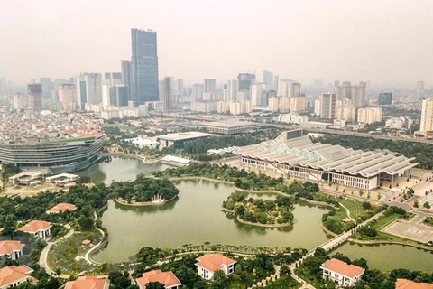
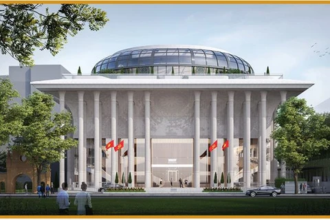
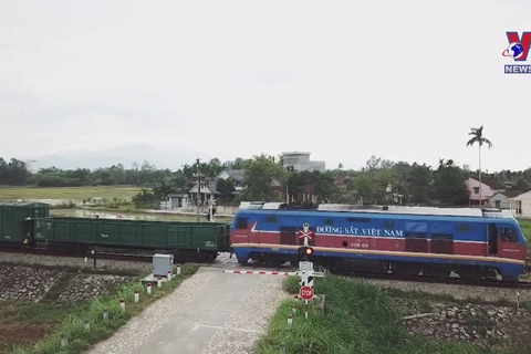
 Crossing the Red River, Nhat Tan Bridge is a continuous cable-stayed bridge with 5 rhombus-shaped towers and 6 cable-stayed spans, symbolising the 5 gates of the capital. (Photo: VNA)
  The Lang - Hoa Lac road is a key thoroughfare within the general planning of the Xuan Mai - Mieu Mon - Hoa Lac - Son Tay urban chain and the longest in the country at nearly 29 km. The link was opened on October 3, 2010. In mid-July 2010, it was renamed Thang Long Boulevard. (Photo: VNA)
  The Phap Van - Ring Road No. 3 intersection is a new road connecting Phap Van - Cau Gie Road with Hanoi’s Ring Road No. 3. (Photo: VNA)
  The Cat Linh - Ha Dong metro line has a length of 13.5 km and runs above ground. The line was put into operation on November 6, 2021. (Photo: VNA)
 VNA
