Hanoi (VNA) – A tropical depression in the northern part of the East Sea has strengthened into a typhoon, becoming the third one to hit the region this year, announced the National Centre for Hydro-Meteorological Forecasting on July 31.
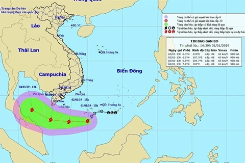
At 7am on July 31, the storm named Wipha was at 18.5 degrees north latitude and 113.5 degrees east longitude, about 230km northeast of Vietnam’s Hoang Sa (Paracel) archipelago, with winds near its centre at 60-75km per hour and higher gusts.
In the next 24 hours, the storm is forecast to move mainly west-northwest at a speed of 15-20 km per hour. As of 7am on August 1, it is expected to be located at 20.7 degrees north latitude and 110.2 degrees east longitude, in the waters to the north of Leizhou Peninsula of China.
Due to the typhoon, strong thundershowers and rough sea are expected in the northern region of the East Sea, including waters around the Hoang Sa archipelago.
It is projected to hit waters offshore Vietnam’s northern localities from Quang Ninh to Hai Phong on August 2 and move west to weaken into a low tropical pressure.
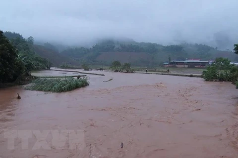
Rains are expected in the disaster-prone northern provinces of Hoa Binh and Phu Tho. The provinces are projected to receive rainfall of more than 40mm in the next three hours, which may trigger floods and landslides.-VNA
VNA

