Hanoi (VNA) – A tropical depression in the north eastern part of the East Sea has strengthened into a typhoon, becoming the fourth one to hit the region this year, announced the National Centre for Hydro-Meteorological Forecasting on August 18.
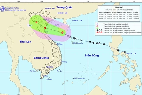
At 7am on August 18, the storm named Higos was at 19.9 degrees north latitude and 117.0 degrees east longitude, about 630km northeast of Vietnam’s Hoang Sa (Paracel) archipelago, with winds near its centre at 60-75km per hour.
In the next 24 hours, the storm is forecast to move west-northwest at a speed of 20 km per hour.
At 7am on August 19, it is expected to be located at 21 degrees north latitude and 112.1 degrees east longitude, with winds near its centre at 75-90km per hour.
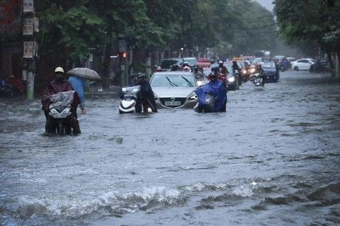
Due to the typhoon, strong wind and rough sea are expected in the northern region of the East Sea.
It is forecast to make landfall in the southern part of China’s Guangxi on August 20 morning and then weaken into a low tropical pressure./.
VNA

