Hanoi (VNA) - A freshly formed tropical pressure in the East Sea has developed into a storm, becoming the third storm in the sea so far this year and is likely to enter the northern region of Vietnam.
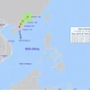
According to the National Centre for Hydro-meteorological Forecasting, by 2pm on August 17, the storm was centered at about 20.7 degrees north latitude and 112.6 degrees east longitude in the waters south-west of Guangdong province of China, packing winds of up to 60-70km per hour.
In the following 24 hours, the storm is forecast to move west at a speed of 5-10 km per hour and is likely to grow stronger.
By 1pm on August 18, it is predicted to be at 20.6 degrees north latitude and 110.1 degrees east longitude, on China’s Leizhou Island, with wind speeds reaching between 60-90km per hour.
It is forecast to cause rainstorms and strong winds in the northern part of the East Sea and the Gulf of Tonkin, including the island districts of Bach Long Vi, Cat Hai, Co To and Van Don, and northern coastal localities.
In the next 24 - 48 hours, if the storm keeps moving to the west-southwest towards the Gulf of Tonkin at a speed of 15km per hour and becomes stronger, it will cause direct impacts on the northeast and northern central provinces from Quang Ninh to Nghe An.
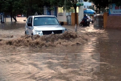
The National Centre for Hydro-meteorological Forecasting said the storm will bring widespread heavy rain to northern and northern central provinces from August 18 until August 20.
Localities in the north, especially mountainous ones, are forecast to have to cope with serious flooding, flash floods and landslides.-VNA


