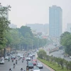
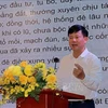
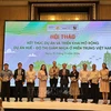
Hanoi (VNA) – A workshop on the application of satellite data in monitoring pollution and research was held in Hanoi on December 1 as part of the projects "Join hands for clean air” and “Improving air pollution monitoring and management of Vietnam with satellite PM2.5 observation”.
The event was jointly organised by the Vietnam Live and Learn Centre for Environment and Community, the University of Engineering and Technology under the Vietnam National University – Hanoi (VNU-UET), the Vietnam Clean Air Partnership (VCAP) and the “Tia Sang” magazine of the Ministry of Science and Technology.
In recent years, the situation of PM2.5 fine dust in Vietnam has been studied and published in reports and scientific journals by State management agencies, universities, institutes and scientists as well as a number of social organisations.
However, reports and studies remain limited in terms of data sources due to the lack of monitoring data and exploitation of open data sources from satellites or sensor stations.
In this context, a report on PM2.5 fine dust matter in Vietnam in the 2019 -2020 period using multi-source data was published, giving a more complete picture of air pollution in both space and time. This was the first report that provides information on the situation of PM2.5 fine dust in all localities nationwide with data collected and analysed by standard monitoring stations, sensors, and satellites.
Based on the report’s findings and referring to international experience, experts discussed and proposed specific recommendations such as the application of multi-source approach and computational model data from satellite images to monitor air quality, and development of detailed distribution maps of PM2.5 fine dust in districts and townshíp in provinces and cities affected by PM2.5 fine dust pollution,
They also underlined the need to strengthen air quality monitoring stations meeting the State’s standards in localities across the country./.
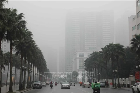
Ministry aims to enhance control of air pollution
The Ministry of Natural Resources and Environment has been compiling a directive of urban air pollution control which is set to be issued in August.

