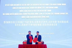
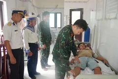
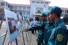
An international symposium on geographic information systems (GIS),which are advanced forms of technological software used to analyse andpresent geographical data, took place in the northern province of ThaiNguyen on November 3-4.
GIS is a computer system designedto capture, store, manipulate, analyse, manage and present all types ofspatial or geographical data. Its applications and technologies arepopular around the world in a number of fields, including nationaldefence, the environment, healthcare, economic development, agricultureand forestry, tourism, urban and traffic management, natural disasterwarning and climate change response.
Vietnam startedresearching GIS in the 1980s and a number of its top-rated tools areapplied in agriculture and forestry planning, forest management, mapsand surveys, land registry, information and transport management,tourism and climate change adaptation.
The University ofInformation and Communication Technology (UICT), part of the Thai NguyenUniversity, has been successful in integrating GIS into monitoringpublic buildings and making environment maps for agriculturalproduction, amongst others.
At the symposium, scientistssubmitted more than 30 papers on GIS in remote sensing, informationtechnology and communications, medical techniques, climate changeresponse, and sustainable agriculture and forestry development.
On the occasion, the UICT announced the establishment of a GISresearch centre which is expected to open up cooperation opportunitieswith scientists throughout the region.
The event was co-hosted by the UICT and Feng Chia University of Taiwan (China).-VNA