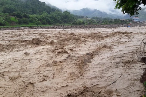
Landslide in Lai Chau province. (Photo: VNA)
 Hanoi (VNA) - Scientists have created a map that warns land degradation risks in the northern mountainous provinces of Dien Bien and Lai Chau.
The research, led by Associate Professor Pham Quang Vinh at the Institute of Geography under the Vietnamese Academy of Science and Technology, investigates and assesses the status of land degradation in these localities using remote sensing technology and geographic information system (GIS) mapping. The goal is to safeguard socio-economic development and ensure sustainable land use.
According to experts, land degradation in Vietnam in general and in the northwest region occurs following various natural and social impacts.
The warning map against land degradation risks was made based on the combination of a map on current land degradation status and a map showing potential factors causing land degradation.
The map on current land degradation status demonstrates land degradation types and levels. It was created based on analyses on natural factors such as geological, geomorphological and hydrological conditions, ecological diversification and socio-economic factors such as methods of cultivation, land use, population density and urbanisation.
The land degradation risk level is divided into three levels: high, medium and low risk.
Areas at low risk account for 48.9 percent of the two provinces’ areas, comprising mostly flat terrains such as deltas and valleys.
Areas at medium risk account for 31.64 percent of the total researched area (589.128ha).
Areas such as Than Uyen, Tan Uyen, Sin Ho districts of Lai Chau province; and Tua Chua and Tuan Giao districts of Dien Bien province are warned to be highly exposed to severe land degradation.
These areas, making up more than 19.4 percent of total natural area, are located mainly on high positions with high density of rivers and streams, relatively thin soil layer and a large volume of rain.
Experts also found out that natural factors such as slope, rain volume, and plant layer affect the land degradation in these two provinces.
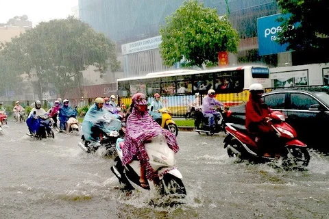
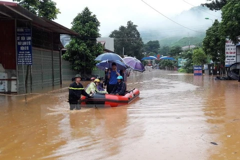
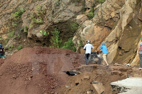
Land degradation is occurring in many major areas in Vietnam, especially mountainous areas which make up three quarters of the nation’s land fund. According to experts, causes of land degradation range from erosion, soil with low fertility, acid soil, saline soil, soil emaciation, flooded land to landslides, desertified soil and polluted soil.-VNA
VNA