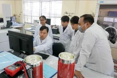
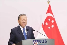
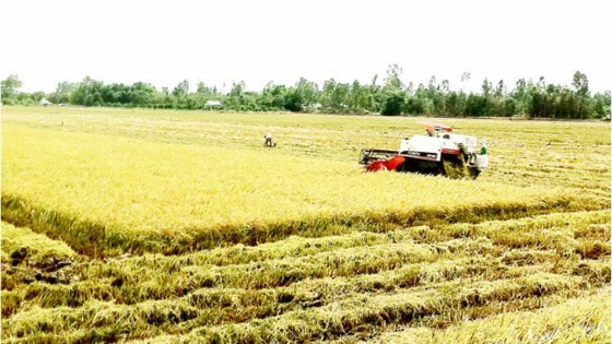
Hanoi (VNA) – The use of satellite earth observation date to monitor rice production in the Red River and Mekong Deltas was discussed at a workshop in Hanoi on October 25.
The workshop on remote sensing application in agricultural production in Vietnam was jointly held by the Ministry of Agriculture and Rural Development and the Swiss Embassy.
Nguyen Quang Dung, Director of the National Institute of Agricultural Planning and Projection (NIAPP), said the project on remote sensing application in rice production in 10 provinces of the Red River and Mekong Deltas has been launched since 2012.
The two-phase project conducted studies using finance from the Swiss Agency for Development and Cooperation and other international partners, he said.
Dung said rice production in Vietnam has been monitored from the Sentinel satellite of the European Space Agency, with the algorithm and model developed by Sarmap Company of Switzerland and the International Rice Research Institute.
Signals collected from the satellite every six or 12 days can help calculate rice productivity in Vietnam.
Assoc. Prof. Dr. Pham Quang Ha, from the NIAPP, said losses caused by natural disasters can be evaluated by remote sensing technology, thus assisting insurance activities to ease risks facing farmers.-VNA
VNA