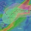
A map of landslides and erosions along riverbanks and coasts in the Mekong Delta was introduced at a conference held by the Ministry of Agriculture and Rural Development (MARD) in Hanoi on June 18. (Source: tuoitre.vn)
 Hanoi (VNA) – A map of landslides and erosions along riverbanks and coasts in the Mekong Delta was introduced at a conference held by the Ministry of Agriculture and Rural Development (MARD) in Hanoi on June 18.
The map provides locations, images and video clips of eroded sites, especially serious landslides, via the Geographic Information System Resources (GEBGIS), thus helping set forth solutions to prevent and reduce losses caused by the natural disaster.
It has been made in the wake of serious erosion in the region, which has threatened human life and property of the State and local residents, and adversely impacted sustainable socio-economic development in areas along riverbanks and coasts.
The map was built using part of the Government’s funding of 1.5 trillion VND (66 million USD) allocated for measures to deal with urgent cases where erosion directly affects concentrated residential areas and essential infrastructure facilities, and develop a database of landslides in the region.
To create the map, the MARD has coordinated with relevant agencies and localities to review, assess and classified erosion and landslides, said Tran Quang Hoai, head of the Directorate for Natural Disaster Prevention and Control.
MARD Deputy Minister Hoang Van Thang, who is also deputy head of the Central Steering Committee for Natural Disaster Prevention and Control, the map aims to help managers, local authorities and the community get an online access to eroded sites, thus taking timely response to the natural disaster for both short and long terms.
The MARD has also sent documents to localities, guiding them in planting warning signs at dangerous areas, evacuating residents in erosion-prone areas, and managing sand exploitation and construction along riverbanks and coasts.
Surveys conducted in compiling the map show that the Mekong Delta has 562 eroded sites with a total length of 786km along riverbanks and coasts, of which 55 sites with a length of 173km are extremely dangerous.
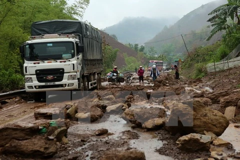
Last month, more than 10 erosion incidents occurred in the delta, including in Ca Mau, Hau Giang and Long An provinces and Can Tho city.
In Can Tho, a landslide occurred along the O Mon River in O Mon district on May 21, causing five houses to fall into the river and threaten the safety of dozen of other houses.
Another landslide in Thoi An ward’s Thoi Loi area eroded 55 metres of a river bank, and extended 10 metres deep inland. It caused a 50-metre section of a rural road to collapse into the river.
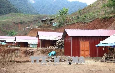
In Long An province, a serious landslide occurred at an embankment on the Vam Co River in Can Duoc district’s Tan Chanh commune on May 23, eating 8m into land along a length of 50m. Cracks in nearby houses were seen after the landslide.
It is estimated that about 6.99 trillion VND (307.9 million USD) will be needed to solve erosion in the Mekong Delta.
An Giang, Dong Thap, Ca Mau and Bac Lieu provinces have been hardest hit by erosion in the delta.-VNA