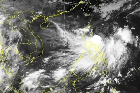
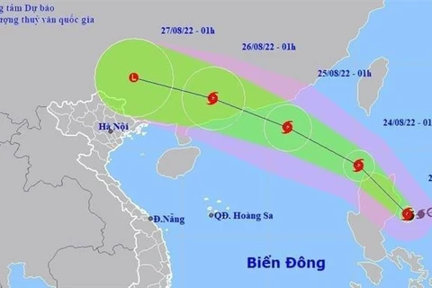
As of early morning of August 25, the storm was about 290km east from Leizhou peninsula of China. (Photo: VNA)
 Torrential rains are forecast to last for more than one day and peak on August 25 night, causing a high risk of flash floods, landslides and flooding in low areas and northern mountainous provinces.
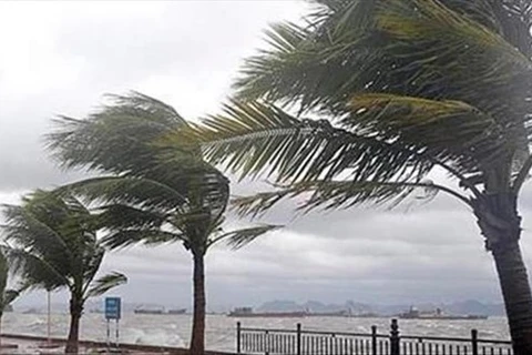
At sea, the northern part of the East Sea has seen strong winds of up to level 9 and even level 11 in the area near the storm eye, causing high waves.
 Heavy rains at 100-200mm and even 250mm have poured onto the northern region from August 25. (Photo: VNA)
 As of early morning of August 25, the storm was about 290km east from Leizhou peninsula of China, boasting winds at level 11 (103-117km per hour).
According to Tran Quang Nang, an expert from the National Centre for Hydro-Meteorological Forecasting, after making a landfall in China's southern localities and heading to the northeastern region of Vietnam, the storm will weaken into a low pressure while reaching Quang Ninh province and become a low pressure area in the next 24 hours./.
VNA