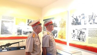
Project helps better wave, flow forecasts in East Sea
The Vietnam Administration of Seas and Islands held a symposium on studying the application of oceanographic models to adjust sea radar data, and make wave and flow forecasts in the East Sea and the western coast of the Gulf of Tonkin.
 Illustrative image (Source: VNA)
Hanoi (VNA) – The Vietnam Administration of Seas and Islands (VASI) held a symposium on studying the application of oceanographic models to adjust sea radar data, and make wave and flow forecasts in the East Sea and the western coast of the Gulf of Tonkin on March 21 in Hanoi.
Deputy head of the VASI Vu Truong Son said the event was part of a 300,000 USD project funded by the US Office of Naval Research’s Arctic and Global Prediction Programme. The project has been carried out in Vietnam from 2015-2018.
In the first phase of the project, three radar stations were installed in the Tonkin Gulf, namely Hon Dau station in northern Hai Phong city, Nghi Xuan station in central Ha Tinh province and Dong Hoi station in central Quang Binh province, together with a station to receive data in Hanoi.
To date, data on several big storms hitting Vietnam in 2017 matched data collected by the three radars. The data is expected to be used for the research of oceanographic models, and help better serve sea and island management in the future.
From now until the end of this year, a self-propelled sea measuring device will be dropped down Quang Ngai waters, while research on oceanographic models in wave and flow predictions will continue to be implemented.-VNA


You should also see
Energy industry needs nearly 5 trillion VND of investment in 2021-2030
The total investment capital demand for the whole energy sector in the 2021-2030 period is between 4.13-4.8 trillion VND (163.01-189.46 million USD), according to a plan to implement the National Power Planning in the 2021-2030 period with a vision to 2050.


See more
 Environment
Consultation workshop on Cambodia’s Funan-Techo canal held in Can Tho
The Vietnam National Mekong Committee (VNMC) on April 23 held a consultation workshop on Cambodia’s proposed Funan-Techo canal project which has raised concerns about potential impacts on the Mekong river.
 Environment
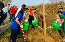
Up to 1,000 ban flowers planted at Dien Bien Phu battlefield relic sites
About 1,000 ban (Bauhinia variegate) flower trees were planted at relic sites such as A1 Hill, Him Lam resistance centre and De Castries Bunker at Dien Bien Phu battlefield relic complex in the northern province of Dien Bien on April 21.
 Environment
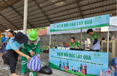
Vietnam acts to combat white pollution
The Vietnamese Government has issued a lot of policies, participated in various forums, and promoted international cooperation, demonstrating its activeness and affirming its determination to reduce plastic waste and join global efforts toward a planet without white pollution.
 Environment
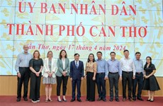
Can Tho explores climate change cooperation with foreign countries
Leaders of the Mekong Delta city of Can Tho on April 17 met with a visiting delegation from the Embassies of Canada, New Zealand, Norway, and Switzerland to discuss issues related to erosion, climate change, migration, and the city's current needs for support and cooperation.
 Environment
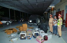
Nghe An: Man captured for illegal wildlife transport
Police in Vinh city, the central province of Nghe An, have captured a suspect involved in the illegal transport of 420 rare wildlife animals, including parrots, kangaroos, turtles, and monkeys.