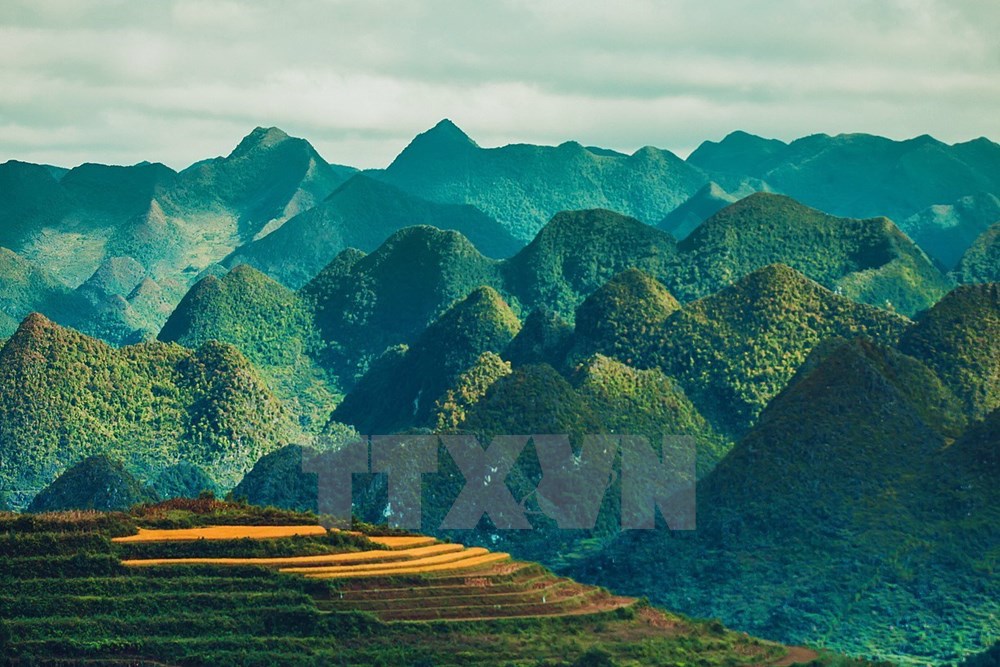
Imposing mountain ranges are an identity of UNESCO-recognised Dong Van Karst Plateau Geopark (Photo: VNA)
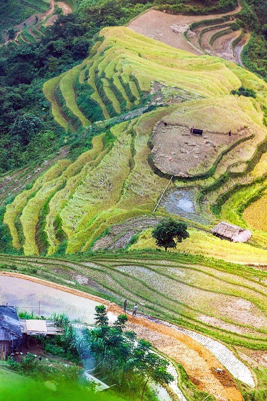
Terranced rice fields in Du Gia and Mau Due communes of Yen Minh district (Photo: VNA)
An aerial view of terraced rice fields in Du Gia and Mau Due communes of Yen Minh district (Photo: VNA)
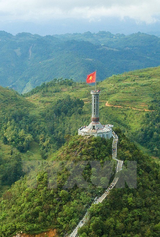
Lung Cu Flag Tower is located on Mount Lung Cu, also known as Mount Rong, which is about 1,470 metres high above the sea level. It is in Lung Cu commune of Dong Van district (Photo: VNA)
Lung Cu Flag Tower marks the northernmost point of Vietnam (Photo: VNA)
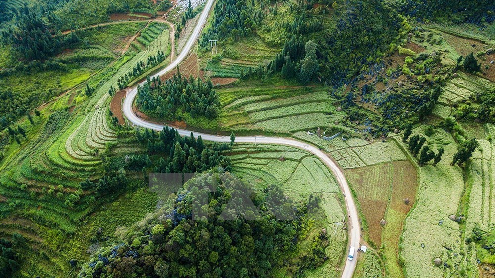
A road to Lung Cu district is flanked by fields of tam giac mach (buckwheat) blossom (Photo: VNA)
A road to Lung Cu district is flanked by fields of tam giac mach (buckwheat) blossom (Photo: VNA)
Ma Pi Leng Pass (Photo: VNA)
The Nho Que River and Ma Pi Leng Pass are attractive destinations for visistors to Ha Giang (Photo: VNA)
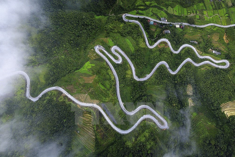
Zigzag roads on mountains in Ha Giang are an alluring challenge to motorbike tourists (Photo: VNA)
VNA