Jakarta (VNA) - The Denpasar Regional Meteorology, Climatology and Geophysics Agency (BMKG) Region III of Indonesia detected 62 tectonic earthquakes on January 5-7 in the Lombok Strait area, located between Bali and Lombok islands.
Cahyo Nugroho, Head of BMKG Region III in Denpasar, said the earthquakes measured between 1.4 and 2.8 in magnitude, indicating heightened seismic activity in the Lombok Strait area.
Based on the location of the epicentre and the depth of the hypocenter, he said, the series of earthquakes was triggered by active fault activity on the sea floor. However, he noted that “given the complex dynamics of the earth, earthquakes to date cannot be predicted with certainty.”
Therefore, increasing public understanding through socialisation and disaster simulation is important to do in order to reduce the risk of losses and casualties, he added.
Residents have been advised to take safety precautions during strong or prolonged earthquakes, such as protecting their heads, staying away from glass and fragile buildings, avoiding coastal areas, and heading to open areas to anticipate aftershocks.
BMKG noted that there are 26 potential faults and active faults in Bali, namely Jimbaran, East Bali Beach, Northwest Mount Agung. The agency urged residents to follow its official updates and early warning systems to respond proactively./.
Magnitude 6.8 earthquake hits Indonesia
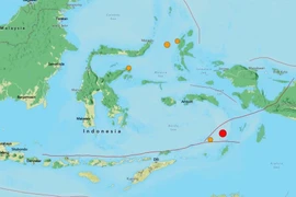
The epicentre was located to be about 177km west of Tual city in Maluku province. The USGS estimated the quake's depth at 66 km, while the BMKG reported a depth of 98km.