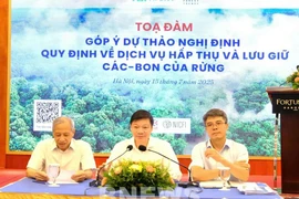
Hanoi (VNA) – Digital transformation and the use of scientific and technological advances are considered a “key solution” to improving the quality of forest management, monitoring, and protection in the new context, following the implementation of the Politburo’s Resolution 57 on development of science and technology, innovation and digital transformation.
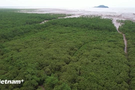
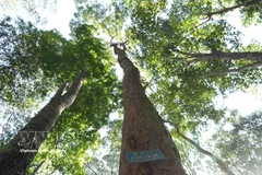
With a total forest area of over 14 million hectares, including more than 10 million hectares of natural forests, forests exist in all 34 provinces and cities across the country. Given the large area and limited workforce, applying digital solutions in forest management and protection has become a top priority for the forestry sector.
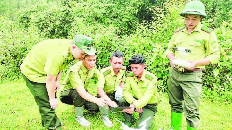
Recognising the importance of digital technology, since 2000, the sector has proactively studied and applied remote sensing images of varying resolutions from satellites such as NOAA, MODIS, LANDSAT, SENTINEL, SPOT5, and VNREDSAT-1, enhancing the efficiency and transparency of forest surveys and inventories.
In addition, applying technological solutions has enabled forest rangers to detect and handle violations of the Forestry Law more effectively. For example, in former Ha Giang province (now part of Tuyen Quang province) in 2024, the use of FRMS, QGIS, and MAPINFO software helped rangers detect four forestry violations, eight fewer than in 2023, resulting in fines totaling 65 million VND (2,465 USD). In Lao Cai province, GIS technology and remote sensing images helped detect and handle 86 forest-related violations in the first half of 2024.
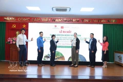
According to Nguyen Huu Thien, Deputy Director of the Vietnam Forestry Administration under the Ministry of Agriculture and Environment, implementing Resolution 57 has provided strong momentum for an extensive digital transformation across the forestry sector, positively impacting forest management, protection, and development. Management methods have shifted markedly from manual, traditional approaches to modern practices, with digital technology, Big Data, and artificial intelligence (AI) enhancing rangers’ ability to monitor, analyse forest data, and make timely, accurate decisions.
In addition, standardising and interconnecting databases with other sectors has enhanced transparency and efficiency in state management coordination. The organisational capacity and professional expertise of staff have gradually improved, fostering a digital mindset and work methods suited to the context of digital transformation. Notably, the establishment of a supportive policy framework has facilitated the participation of domestic and international businesses, research organisations, and partners in investment and technology transfer, contributing to the sustainable, modern, and climate-resilient development of the forestry sector.
Alongside the benefits of digital transformation, the forestry sector has faced several challenges. Monitoring equipment such as GPS devices, drones, and LIDAR systems is not yet fully or consistently deployed, and harsh weather conditions in many forest areas affect the durability of these tools. High-quality remote sensing imagery from satellites is not widely available, complicating forest status analysis. Furthermore, funding for digital technology applications, particularly remote sensing, remains insufficient and unstable, while investment in specialised software, database maintenance, and ranger training is still uneven.
To address these challenges and further strengthen the use of digital solutions in forest management and protection, Thien stated that the agency will focus on upgrading and completing IT infrastructure and equipment nationwide. Priority will be given to server systems, network connections, and terminal devices at forest management units, alongside expanding the use of GIS platforms, satellite imagery, drones, and AI for forest surveys, monitoring, fire prevention, and international commitments. The sector will also develop digital skills through training and capacity-building programmes for its workforce./.
VNA