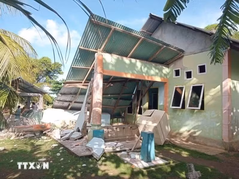
Jakarta (VNA) – Indonesia's Geological Agency has released a map identifying areas at high risk of soil liquefaction in Central Sulawesi following a recent 6.7-magnitude earthquake, aiming to support local authorities in spatial planning and disaster risk reduction efforts.
Lana Saria, Head of the Geological Agency at the Ministry of Energy and Mineral Resources, announced that an updated technical monitoring map highlights four regencies and cities requiring intensive attention.
The areas identified are Sigi Regency, Palu City, Parigi Moutong Regency, and parts of Poso Regency. Saria explained that liquefaction potentially occurs in water-saturated sandy soil layers when subjected to strong seismic shaking.
She expressed her hope that the newly-released data and hazard distribution maps will serve as a key reference for local governments in formulating spatial planning and safe-zone policies.
The agency clarified that the designated status does not mean liquefaction will instantly occur across all identified points. Rather, it serves as a scientific indicator signaling the need for heightened vigilance and reinforced structural mitigation.
The agency also identified areas with high earthquake vulnerability, including several sub-districts in Sigi Regency and Palu City, such as Dolo, Gumbasa, Marawola, Tanambulava, West Palu, South Palu, and North Palu. Other surrounding areas fall into medium-to-high risk categories.
The vulnerability map was compiled using various geological parameters, including active faults, soil and rock characteristics, seismic history, and the potential intensity of ground shaking.
The map is not a prediction of when an earthquake will occur, but rather an overview of potential hazard levels if a quake strikes the area, Saria said.
She urged local disaster management authorities and residents to remain calm but vigilant, stressing that geological resilience must be a key consideration in post-disaster infrastructure and housing reconstruction./.